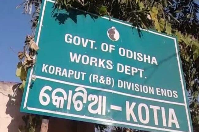
Koraput: Former Collector of Koraput, Gadadhar Parida has recommended that the authorities use the map prepared by the British government in 1945 that shows Kotia panchayat within the territorial boundary of Odisha to end the border dispute between the state and neighbouring Andhra Pradesh.
The map not only presents Kotia panchayat within the territorial boundary of Odisha, but also shows the Pottangi-Tadibalsa heritage road that passes through Kotia panchayat as part of Odisha.
“This backs of our claim on Kotia panchayat as it amply demonstrates that entire Kotia panchayat is within the territorial boundary of Odisha and not Andhra Pradesh, as claimed by the neighbouring state,” said Parida.
He added that in the light of this revelation, the state government should make serious efforts to present this map as proof to the Andhra Pradesh government claiming our jurisdiction on Kotia panchayat and to stop unauthorised entry of its officials and public representatives into the area.
Recently, Chief Secretaries of both the states participated in a meeting to discuss bilateral various issues, including the dispute concerning the Kotia panchayat.
It was decided at the meeting that a joint committee of both the states will demarcate the borders at the district level, Odisha Chief Secretary Suresh Chandra Mohapatra had said after the meeting.
Mohapatra added that the borders will be identified and demarcated where the map of the area is not controversial.
Buoyed by the declaration of the state Chief Secretary, the former Collector of Koraput has advised the state government to present the 1945 map as proof to identify and demarcate the border.
Moreover, Parida has advised taking help of an expert team to review the available map and data on the border before a joint team of Odisha and Andhra Pradesh undertakes the demarcation of the Kotia area and other border regions in the district.
PNN


