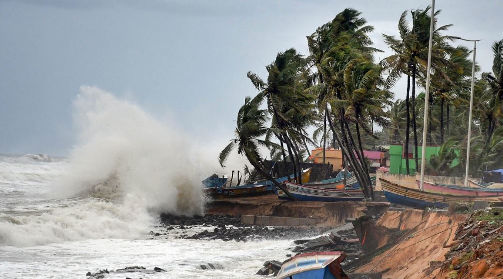
Bhubaneswar: Three districts in north Odisha – Bhadrak, Balasore and Kendrapara – are likely to witness isolated heavy rainfall as the present low-pressure area over southwest and adjoining west-central Bay of Bengal (BoB) is turning into a severe cyclonic storm and will reach Bangladesh and West Bengal coasts. Weather scientist at the Indian Meteorological Centre (IMD), Bhubaneswar, Umashankar Dash told Orissa POSTThursday that under the influence of the cyclone, which is unlikely to have landfall, isolated rainfall activities will also occur in Bhadrak, Balasore and Mayurbhanj districts May 27.
However, the cyclonic storm will have no impact on the Capital City where the sky is likely to remain overcast May 26. In a bulletin, the IMD Thursday said squally wind speed reaching 40-50 kmph gusting to 60 kmph is likely along and off adjoining north Odisha coasts from May 25 evening. It said the low-pressure area over southwest and adjoining west central Bay of Bengal (BoB) has moved northeastwards and lays as a well-marked low-pressure area over west central and adjoining south BoB. It is very likely to continue to move northeastwards and concentrate into a depression over central parts of BoB by morning of May 24 and thereafter, it is very likely to continue to move northeastwards, intensifying further into a cyclonic storm over east central BoB by May 25 morning. Subsequently, it would move nearly northwards and reach near Bangladesh and adjoining West Bengal coasts by May 26 evening as a severe cyclonic storm.
Under its impact, squally weather with wind speed reaching 40-50 kmph gusting to 60 kmph is likely to prevail over central and adjoining south BoB May 23 which would become 50- 60 kmph gusting to 70 kmph over central Bay of Bengal May 24. The MeT sources said it would extend to adjoining areas of North BoB with gale wind speed reaching 60-70 kmph gusting to 80 kmph from May 25 morning. It would further increase becoming 100-110 kmph gusting to 120 kmph over north BoB and 70-80 kmph gusting to 90 kmph over adjoining central BoB from May 26 morning for subsequent 24 hours. The sea condition will be rough to very rough over central and adjoining south BoB from May 23 and over north BoB from May 24 evening. It would become high over central BoB from May 25 morning and high to very high over north BoB from May 25 evening till May 27 morning. The sea will be rough to very rough along and off north Odisha coasts from May 25 evening till May 27 morning, the IMD said. Fishermen have been advised not to venture into the south BoB till May 24, central BoB till May 26 and north BoB from May 24 onwards till May 27 morning. The fishermen out at sea have been advised to return to the coast.


