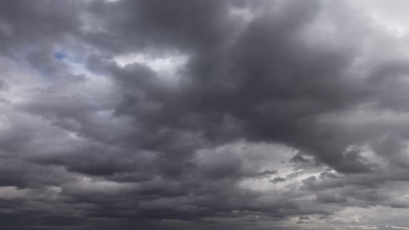
Bhubaneswar: After a delay of 10 days, the southwest monsoon is likely to hit some parts of state Friday, said Bhubaneswar Meteorological Centre director HR Biswas here Thursday.
“Conditions are now becoming favourable for the arrival of moonsoon in Odisha, which is expected to cover several parts of the state in the next 24 hours,” Biswas said.
Movement of a cyclonic circulation and formation of a low pressure area over the Bay of Bengal is facilitating the process, and it will pave way for arrival of monsoon in the state, he said.
Under the influence of the cyclonic circulation over east central and adjoining northeast Bay of Bengal, a low pressure area has formed over northeast bay of Bengal and neighbourhood, a IMD bulletin said.
Associated cyclonic circulation extends upto 7.6 km above mean sea level tilting southwestwards with height.
The trough at mean sea level now runs from Punjab to the center of low pressure area over northeast Bay of Bengal and neighbourhood across Haryana, North Madhya Pradesh, North Chhattisgarh, Jharkhand and North Odisha, it said. These systems helping the monsoon to reach Odisha, sources said.
Several places of the state including Bhubaneswar and districts like Ganjam, Gajapati, Puri, Khurda, Balasore, Jagatsinghpur and Mayurbhanj have experienced pre-monsoon rains since Thursday morning.
The Met department predicts heavy to very heavy rain fall at one or two places over the districts of Jajpur, Cuttack, Dhenkanal, Angul, Bhadrak while heavy rain fall likely to occur at one or two places over the districts of Balasore, Keonjhar, Mayurbhanj, Deogarh, Sundargarh, Khurdha, Boudh, Kalahandi and Kandhamal during next 24 hours.
Transparency Missing
One of the cornerstones of a functioning democracy is transparency as the people have every right to information on all...
Read more


