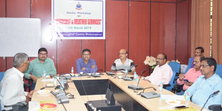
Bhubaneswar: Director of Meteorological Centre, Bhubaneswar HR Biswas Thursday said huge damage was avoided in the state at least three times due to the alertness of the India Meteorological Department (IMD) and the state government in the past.
He was addressing a media workshop on meteorology where he discussed about the weather nowcast and weather services. He said that people still lack information about weather terminologies.
He said, “Due to alertness of the IMD and the state government we were able to avoid Super Cyclone-1999 kind of damage during Phailin, Hudhud and Titli in the recent past.”
He said cyclonic storm has different speed limits. Super cyclones have a speed of more than 220 kmph, extremely severe cyclonic storm’s speed goes from 166 kmph to 220 kmph, very severe cyclonic storm’s speed is 118 kmph to 165 kmph while severe cyclonic storm’s speed is 88-117 kmph.
He also informed the media about several weather terms like frost which was occurs when snow gets deposited on the ground and squall, a strong wind that rises suddenly and lasts for at least 1 minute.
He also revealed about the meteorological division of the districts. The areas of Kalahandi, Bolangir, Nuapada, Boudh, Koraput, Malkangiri, Nuapada, Boudh, Sonepur come under south interior, while Cuttack, Jajpur, Bhadrak, Balasore, Jagatsinghpur and Kendrapara come under north coastal region.
Similarly, Ganjam, Gajapati, Nayagarh, Puri, Khurda, Nayagarh are classified under south coastal region while Sundargarh, Jharsudguda, Sambalpur, Deogarh, Keonjhar, Mayurbhanj, Angul Dhenkanal and Baragarh are under north interior region, he added.
Biswas also told the media that two new observatories at OUAT and G Udaygiri will be started very soon. At present, the state has eight observatories. “We have launched websites in collaboration with OUAT wherein we are registering farmers who can read and take information about weather phenomena of the area.”
Meanwhile, The Regional Meteorological Centre also said the cyclonic circulation over west Assam and neighbourhood now lies over Assam and Meghalaya and neighbourhood at 1.5 km above mean sea level. The trough line from this cyclonic circulation to northeast Jharkhand across West Bengal extending up to 0.9 km above mean sea level has become less marked. A cyclonic circulation extending up to 0.9 km above mean sea level lies over interior Odisha and neighbourhood.
Under its influence, one or two places in Jajpur, Gajapati and Kandhamal received rain while the weather remained dry in the rest of Odisha. The highest maximum temperature of 38.60 degrees Celsius was recorded at Sonepur and the lowest minimum temperature of 16.50 degrees Celsius was recorded at Sundargarh, it added.
While the weatherman has predicted no change in day temperature in the next 24 hours, the temperature is likely to come down by two to three degrees thereafter.


