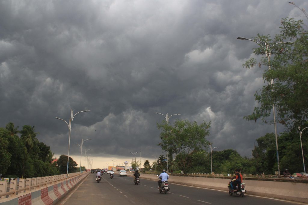
Bhubaneswar: The India Meteorological Department (IMD) regional centre here forecasted Monday morning that, the ‘deep depression’ over southwest and adjoining the southeast Bay of Bengal is very likely to intensify into a cyclonic storm during next 24 hours.
Also read: Minor sister duo meet watery grave in Malkangiri
The regional centre shared this weather update on its Twitter page.
According to the tweet, the depression currently lies 600km south-southeast of Puducherry and 630km south-southeast of Chennai. The cyclone is likely to move north-westwards and cross the Tamil Nadu and Puducherry coasts as well, between Karaikal and Mahabalipuram by November 25 (Wednesday) noon/afternoon.
However, there is no warning for Odisha.
“#WellMarkedLow Pressure area intensified into #Depression over #southwest and adjoining #southeast #BayofBengal – (cyclone Watch for Tamilnadu and Puducherry coasts).It is likely to intensify further into a #cyclonic storm during next #24hours”, the tweet read.
Under its influence, several districts in South and North Odisha will experience heavy rainfall for couple of days from November 25.
Light to moderate rain or thundershower is expected to occur at one or two places over the districts of Ganjam, Gajapati, and dry weather is very likely to prevail over the rest districts of Odisha Monday.
Dense fog could be seen at one or two places over the districts of Kandhamal, Angul, Mayurbhanj, Kalahandi, Gajapati, Rayagada and Dhenkanal November 24, the regional centre asserted.
PNN
