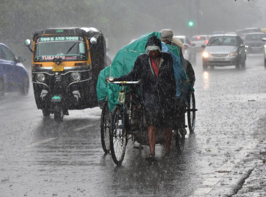
Bhubaneswar: A well-marked low-pressure area over central parts of the north Bay of Bengal is likely to concentrate into a depression which will trigger heavy rains in Odisha for next five days, India Meteorological Department (IMD) in Bhubaneswar said Monday.
In a bulletin, the weather agency said Sunday’s low-pressure area now lies as a well-marked low-pressure area over central parts of the north Bay of Bengal with the associated cyclonic circulation extending up to 9.5 km above mean sea level.
It is likely to move northwestwards and concentrate into a depression during the next 12 hours.
Under its impact light to moderate rain or thundershowers will occur at most places over the districts of north coastal Odisha, at many places over the districts of north and south interior Odisha and at few places over the districts of south coastal Odisha with heavy rainfall at one or two places over the districts of coastal and north interior Odisha.
The IMD also said light to moderate rain and thundershowers is very likely to occur at many places in several districts in Odisha during the next five days.
There might be temporary water logging in low-lying areas and underpass roads, traffic congestion in urban areas and the possibility of wall collapse of vulnerable kutcha houses and some damage of kutcha road.
The Met also predicted landslides in vulnerable hilly areas of Kalahandi and Kandhamal districts.
Under the influence of a well-marked low-pressure area over central parts of the north Bay of Bengal, squally weather with wind speed reaching 45 to 55kmph is very likely along & off the Odisha coast, and north Bay of Bengal & adjoining west-central Bay of Bengal during the next four days.
The fishermen are advised not to venture into the sea along & off the Odisha coast, north Bay of Bengal & adjoining west-central Bay of Bengal from August 1 to August 3.
UNI
