Koraput: A row has affected the lives of people living close to the border areas of Odisha and Andhra Pradesh in Koraput district. They have been plagued by various problems including the lack of civic amenities.
Also read: STF bust sandalwood smuggling racket in Cuttack, 3 arrested
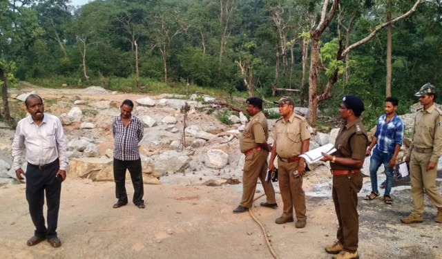
To solve the border controversy a meeting of was conducted Thursday afternoon by officials of the Koraput and Visakhapatnam districts. It was a welcome development as both sides looked intent on solving the problems and on demarcating the boundaries.
GPS mapping of the border is being carried out in lines with the Madras Presidency map and a joint survey has started from Thursday sources said Thursday,
“We agreed to locate the inter-state border stones first after which Andhra administration will take GPS coordinates of those locations,” said Koraput Collector Madhusudan Mishra.
Delegates from Odisha revenue as well as forest departments were present at the meeting held at Sambai panchayat office here.
It should be stated here that Andhra Pradesh has been claiming its rights on areas like Kotia, Sambai and Jamuguda.
The border row had erupted in Koraput in early November, this year. A signage put up by the district administration was removed by some local villagers of Andhra in the bordering areas of Sunabeda village under Pottangi block limits in the district.
PNN


