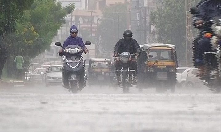
Bhubaneswar: Rains pounded several parts of Odisha for the second day Friday while the regional meteorological centre of IMD here forecast heavy rainfall for the next two days in many places.
The rain was triggered by a cyclonic circulation over the Bay of Bengal as well as a monsoon trough line from Rajasthan to Kolkata and extending up to southeast Bay of Bengal, the weatherman said.
Light to moderate rain or thundershower will lash most places of the state, he said adding that heavy to very heavy rainfall is likely to occur at isolated places in Sundargarh, Keonjhar, Angul, Deoarh and Sambalpur districts Saturday.
Similarly, some places will receive heavy rain in districts such as Dhenkanal, Jharsuguda, Boudh, Sonepur, Bargarh, Kalahandi, Nawarangpur, Koraput, Mayurbhanj, Bolangir and Jajpur, the weatherman said.
Heavy to very heavy rainfall is likely to take place in some areas of Koraput, Nawarangpur, Nuapada, Bargarh and Kalahandi districts Sunday.
The centre has advised fishermen not to venture into the sea along and off Odisha coast Saturday and Sunday.
Rainfall in different parts of Odisha since Thursday morning has brought cheers among the farmers of the state where the south-west monsoon has remained elusive after making a delayed arrival last month.
The state had recorded about 32 per cent deficit rainfall between June 1 and July 24 this year, officials said while adding the deficit has now come down to 29 per cent following enhanced rainfall in the last two days.
The situation is expected to improve significantly if rainfall continues for the next few days. It will immensely benefit the farmers.
(PTI)


