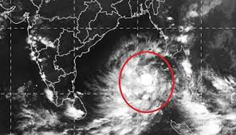
Bhubaneswar: A low pressure formed over Bay of Bengal Wednesday is very likely to concentrate into a depression Friday and intensify further into a cyclonic storm Saturday, Bhubaneswar based regional centre of India Meteorological Department (IMD) has said.
While there will be no impact under its influence for next five days, the system is expected to bring in rains for coastal parts of the state after that.
Local weather scientist Sarat Sahu said the low pressure is very likely to convert into a severe cyclonic storm by May 18. The system is likely to move parallel to Tamil Nadu, Andhra Pradesh and Odisha coasts.
“As per preliminary indications, the system may affect few coastal districts such as Puri, Kendrapara, Jagatsinghpur, Bhadrak and Balasore between May 18 to 20,” Sahu said. The path of the cyclone will become clear Friday, he added.
The Wednesday afternoon bulletin of IMD, meanwhile, said that the cyclonic storm is very likely to move northwestwards initially till May 17 and then re-curve north-northeastwards. In association with the above system, the conditions will become favourable for advancement of southwest monsoon over south Bay of Bengal, Andaman Sea and Andaman & Nicobar islands around May 16.
“Squally winds with speeds reaching 45-55 kmph and gusting to 65 kmph is likely to prevail over south and adjoining central Bay of Bengal on May 15, 55-65 kmph gusting to 75 kmph over the same region on May 16,” IMD said.
“Wind speed is likely to increase further becoming Gale force winds with speed reaching 65-75 kmph and gusting to 85 kmph over southwest and adjoining westcentral Bay of Bengal from the evening of May 16. Sea condition will be becoming very rough to high over southwest and adjoining westcentral Bay of Bengal from 16th May evening,” it added.
IMD has advised fishermen against venturing into deep-sea area of south and central Bay of Bengal from May 15 and has advised those already at sea to return to coasts by Thursday.
