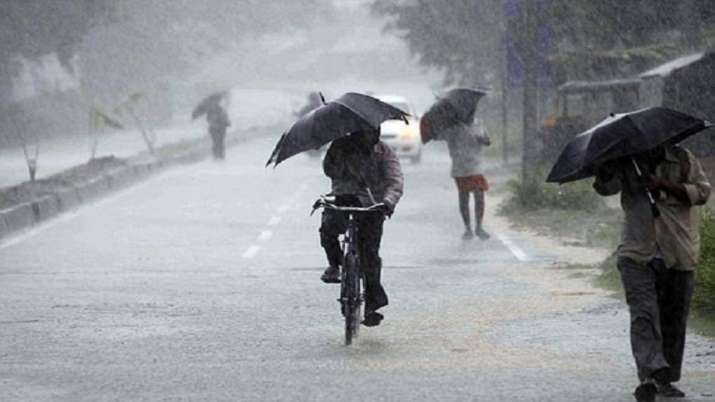
Bhubaneswar: Several parts of Odisha are likely to receive heavy rains in the next two days as the low-pressure area over northwest Bay of Bengal (BoB), off north Odisha coast, moves northwards during the period, IMD sources said Friday.
The low-pressure area has been formed under the influence of a cyclonic circulation over northwest and the adjoining west-central Bay of Bengal (BoB), they added.
Meanwhile, widespread rainfall activity with very heavy rainfall at one or two places was recorded in Koraput district, Friday. Heavy rainfall was also witnessed at one or two places in Dhenkanal, Koraput, Malkangiri, Khurda, Rayagada, and Jajpur districts during the day.
Jeypore in Koraput recorded 12 cm of rainfall, followed by Nandapur (Koraput) and Bhuban (Dhenkanal) with 11 cm each, Malkangiri with 9 cm, and Bolagarh (Khurda) with 8 cm.
IMD sources said light to moderate rain/thundershowers are very likely to occur at most places over the districts of the state in the next two days.
They further stated that heavy to very heavy rainfall (7 to 20 cm) is very likely to occur at isolated places in Kalahandi, Kandhamal, Rayagada, Nayagarh, Ganjam, Jagatsinghpur, Kendrapara, and Bhadrak districts.
Heavy rainfall (7 to 11 cm) is also very likely to occur at isolated places over the districts of Khorda, Puri, Balasore, Jajpur, Cuttack, Bolangir, Nuapada, Boudh, Angul, Dhenkanal, Gajapati, Keonjhar, Mayurbhanj, and Koraput.
Fishermen have been alerted that squally weather with gusty surface wind speeds reaching 40 to 50 kmph is likely over the northwest Bay of Bengal off the Odisha coast until June 30.
UNI
