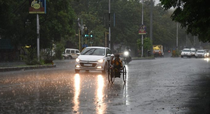
Bhubaneswar: A low-pressure area has been formed over north Odisha, adjoining Gangetic West Bengal and Jharkhand following cyclonic circulation over northwest Bay of Bengal and adjoining north Odisha-Gangetic West Bengal coasts, informed IMD.
It is likely to move west-northwestwards across Jharkhand during the next two days. The local MET office predicted that a cyclonic circulation is also likely to form over northwest Bay of Bengal around Tuesday (July 18).
The Monsoon trough at mean sea level now passes through Ganganagar, Hissar, Delhi Sultanpur, Gaya, Bankura and thence southeastwards to east-central Bay of Bengal and extends upto 0.9 km above mean sea level.
In view of the above meteorological features, wet spells of monsoon rainfall is likely to continue over Odisha with isolated heavy to very heavy rainfall.
It predicted that light to moderate rain/thundershower is very likely to occur at most places over the districts of Odisha from Monday to Friday (July 17 to 21).
Heavy to very heavy rainfall is very likely to occur at isolated places over several districts, the met office said, issuing Orange and Yellow Warnings.
The fishermen have been advised not to venture into the deep sea area of North West and adjoining West Central Bay of Bengal Thursday (July 20).
UNI


