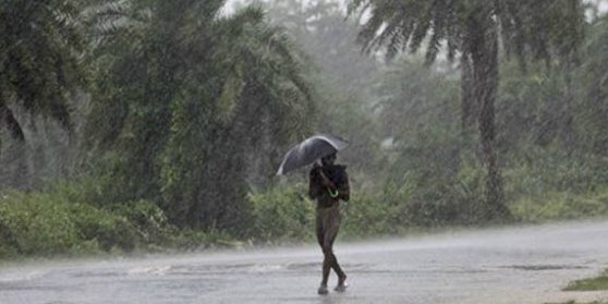
Bhubaneswar: Contrary to the IMD’s forecast that Odisha would get lashed by heavy rainfall for three consecutive days after monsoon reached the state, many towns have however received low to very low showers.
The weathermen have ascribed the low rainfall to the low pressure formed over the Bay of Bengal reaching Chhatisgarh and heading in a northwest direction.
However, the regional centre of India Meteorological Department here predicts that some places in southern and northern parts of the state are likely to experience downpour Monday and from June 25 there would be heavy to very heavy rainfall and Nor’wester rain in most parts of the Odisha.
According to the sources in the IMD, south and north Odisha are likely to experience heavy downpour from June 25 onwards.
Gajapati, Hanjam, Kalahandi, Kandhamal, Boudh, Nayagarh, Angul, Dhenkanal, Keonjhar, Mayurbhanj, Sundargarah, Jharsuguda and Sambalpur are the districts likely to witness Nor’wester rain.
Similarly, the weather department issued warning that Nor’wester rain would lash coastal districts and Dhenkanal, Kalahandi and Kandhamal districts June 26 and Sundargarh, Mayurbhanj, Jharsuguda, Sambalpur, Deogarh, Bargarh, Bolangir, Sonepur, Nuapara, Nabarangpur, Kandhamal and Kalahandi districts June 27.
However, there would be sunny days after June 28, forecast the IMD.
Malkangiri recorded highest rainfall of 31mm and Bhubaneswar and Keonjhar recorded the lowest 0.3mm by Sunday evening.
Similarly, by that time, Sambalpur recorded 13mm, Cuttack 9.2mm, Koraput 8mm, Baripada, 3.2mm, Sundargarh 2mm, Jharuguda 1mm, Balasore 0.5mm, Chandbali and Angul recorded 0.6mm rainfall.
Every year monsoon would reach Odisha in second week of June. But this year, it arrived in the fourth week of the month.
The monsoon’s arrival has given people some respite from soaring temperature and sultry weather conditions.
PNN
