
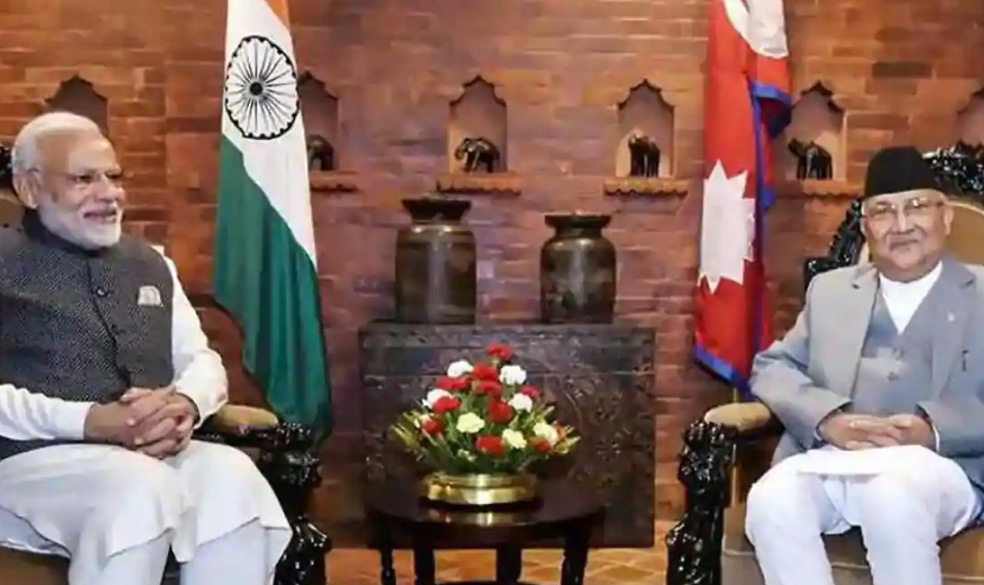
Kathmandu: Nepal’s Cabinet has endorsed a new political map showing Lipulekh, Kalapani and Limpiyadhura under its territory. This new development came amidst a border dispute between Nepa and India. The new development was announced by Nepal Foreign Minister Pradeep Kumar Gyawali. It came weeks after he said that efforts were on to resolve the border dispute with India through diplomatic initiatives.
Special resolution
Nepal’s ruling Nepal Communist Party lawmakers have also tabled a special resolution in Parliament. It demanded the return of Nepal’s territory in Kalapani, Limpiyadhura and Lipulekh.
Disputed area
The Lipulekh pass is a far western point near Kalapani, a disputed border area between Nepal and India. Both India and Nepal claim Kalapani as an integral part of their territory. India says that Kalapani is a part of Uttarakhand’s Pithoragarh district. Nepal calls it a part of Dharchula district.
Gyawali said that the official map of Nepal will soon be made public by the Ministry of Land Management.
“Decision of the Council of Ministers to publish the map of Nepal in seven provinces, 77 districts and 753 local level administrative divisions including Limpiyadhura, Lipulekh and Kalapani,” Gyawali wrote Monday on Twitter.
Protest lodged
Gyawali last week had summoned Indian Ambassador Vinay Mohan Kwatra. He then handed over a diplomatic note to Kwatra. It was a protest against the construction of a key road connecting the Lipulekh pass with Dharchula in Uttarakhand.
India has said that the recently-inaugurated road section in Pithoragarh district in Uttarakhand lies completely within its territory.
Cabinet approval
Nepal’s finance minister and government spokesperson Yuvaraj Khatiwada also spoke about the new map. He said the Cabinet headed by Prime Minister KP Sharma Oli has approved the new political map. Minister for Land Management Padma Aryal presented the new political map t a Cabinet meeting for endorsement.
The government said it will soon publicise the new political map. It incorporates the territories unilaterally kept by India on its side of the border. Minister for Culture, Tourism and Civil Aviation Yogesh Bhattarai said that the Cabinet’s decision will be written in golden letters.
Different thought process
However, senior ruling party leader and member of Nepal Communist Party standing committee Ganesh Shah thought differently. He said the move may escalate unnecessary tension between Nepal and India during the coronavirus outbreak. “The Nepal government should soon start a dialogue with India to resolve the matter through political and diplomatic moves,” he said.
The new map includes 335-km land area including Limpiyadhura in the Nepalese territory. The new map has been drawn on the basis of the Sugauli Treaty of 1816 signed between Nepal and then the British India government.
China not concerned
Meanwhile in a separate development China said Tuesday that the Kalapani border issue is between India and Nepal. It hoped that the two neighbours could refrain from ‘unilateral actions’ and resolve disputes through friendly consultations.
Foreign Ministry spokesman Zhao Lijian made the remarks at a media briefing here. He was replying to questions on India-Nepal differences over the border. Indian Army chief General MM Naravane’s had also made some remarks recently. He said that Kathmandu was objecting to the newly built road by India at the behest of ‘someone else’. The comments did not go down well with the Nepal authorities.
“Kalapani is an issue between Nepal and India. We hope the two countries properly solve their disputes through friendly consultations,” Zhao said. Zhao also said Nepal and India also should ‘refrain from unilateral actions that might complicate the situation’.
Naravane’s comments
General Naravane said Friday that there were reasons to believe that Nepal objected to the newly-inaugurated road. The road links Lipulekh Pass with Dharchula in Uttarakhand. Naravane was making an apparent reference to a possible role by China on the matter. He said there was no dispute whatsoever between India and Nepal in the area. The road laid was very much within the Indian side.
Agencies