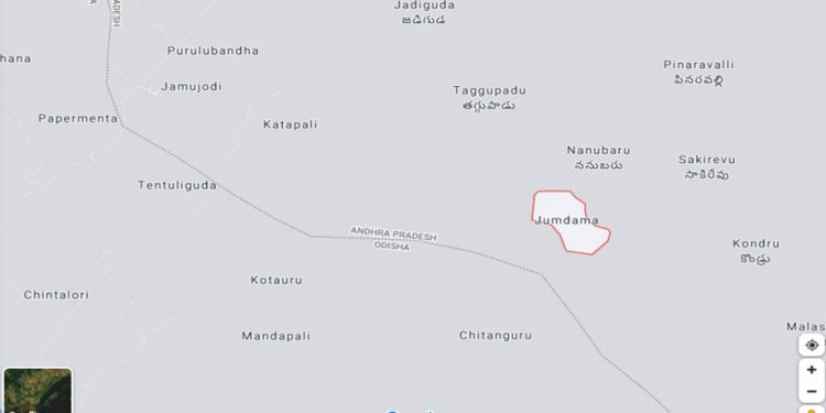
Malkangiri: Even as the row between Andhra Pradesh and Odisha over Koraput’s Kotia panchayat remains unresolved (the case is sub-judice in Supreme Court), the neighbouring state has stoked another border row in Malkangiri district.
In the Google map, three villages of Swabhiman Anchal under Chitrakonda block were shown as part of Andhra Pradesh.
As panchayat elections are underway in the neighbouring state, annexing three border villages of Malkangiri in the Google map has drawn sharp reactions from various quarters in the state.
According to reports, Jamukadi, Katapalli and Kumtang villages of Dhuliput panchayat are now found to be under Paderu block in Vishakhapatnam district.
Locals suspect that such attempts to add Malkangiri villages in Google map is a prelude to AP’s real bid to encroach upon these areas in future.
Chitrakonda block has 18 panchayats, but there are no people’s representatives like sarpanchs, samiti members, Zilla Parishad chairperson in Kapaturi, Papulur, Kurmanur, Nuaguda, Gunthabeda, Doraguda, Tonelcamp, Badapada, Badapadar, Jantri, Dhuliput, Panasput, Andrapalli, Raleguda, Gajulmamudi panchayats.
It was alleged that the AP government has been trying to lure people of these three panchayats with sops like Aadhar cards, ration cards, free healthcare and old age pension.
Andhra traders have been collecting minor forest produce and minerals from people in these three villages.
After the Gurupriya bridge was commissioned, the administration has reached out to people in bordering villages and trying to push development activities.
Locals demanded that the administration should lay stress on development in these villages and set up concrete pillars on these three villages, demarcating the Odisha borders.
PNN

