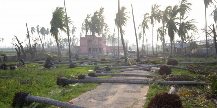
Bhubaneswar: A low-pressure area formed Friday over the South Andaman Sea is likely to intensify into a cyclonic storm and reach the Andhra Pradesh-Odisha shores by May 8, India Meteorological Department (IMD) Director-General Mrutyunjay Mohapatra informed. The low-pressure area is very likely to move northwestwards and intensify into a depression by Saturday. The system is likely to further intensify into a cyclonic storm by Sunday evening, he added.
“We have not yet made any forecast on where Cyclone Asani will make landfall. We have also not mentioned anything on the possible wind speed during the landfall,” Mohapatra stated.
“When the cyclone approaches the coast, we can say where it will make landfall. As the sea condition may be rough from May 9, fishermen should not venture out. We have estimated that the wind speed of the cyclonic storm will remain at 80-90 kmph in the sea. Information regarding the cyclone will be updated after the formation of the depression Saturday,” added Mohapatra.
Under the impact of the weather system, light to moderate rainfall is very likely at many places over the districts of coastal Odisha and heavy rainfall is very likely to occur at a few places over the districts of Ganjam, Khurda, Puri and Jagatsinghpur, the IMD said.
The Odisha government said disaster response and fire services teams have been kept on standby following the forecast.
Special Relief Commissioner (SRC) PK Jena had earlier informed Thursday that 17 teams of NDRF, 20 teams of ODRAF and 175 fire services teams have been put on high alert. After getting a clear picture about the possible cyclone, the disaster response teams will be deployed in various districts, Jena had stated.
Jena said the state was prepared to face any eventuality. Collectors of 18 districts have been put on alert and asked to take all measures required. There is nothing to panic about as the state government is well-prepared to face any cyclone, the SRC said.


