
Bhubaneswar: The Odisha government has decided to conduct a digital crop survey across the state to ascertain the exact area under cultivation by farmers, a senior official said.
The survey was first piloted in four districts – Nuapada, Nayagarh, Deogarh, and Bhadrak – during the 2023-24 kharif crop season.
The exercise will be expanded to the remaining 26 districts, said Arabinda Kumar Padhee, principal secretary, agriculture department.
“The survey will help us in getting accurate amounts of cultivated land in different parts of the state, and in planning and policy making,” he said.
The study will be conducted using a mobile application developed jointly by the Centre and the state government.
“Geo-referenced cadastral maps with Geographic Information System (GIS) and Global Positioning System (GPS) technologies will be used to ensure the farmland position,” officials said.
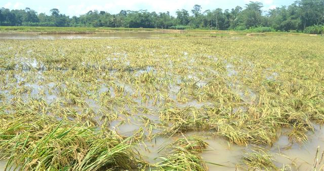
The digital survey will establish a clear picture of crops being sown in the farmlands during different agriculture seasons, they said.
It will also provide data on damage from natural calamities, disease attacks and agro-met services across the country, the officials added.