


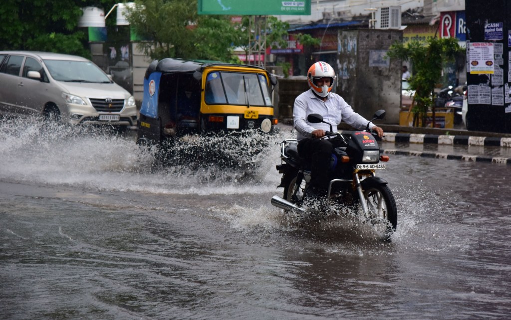
Bhubaneswar: The India Meteorological Department (IMD) Tuesday forecast heavy to very heavy rainfall in many parts of Odisha during the next four days.
In a special bulletin, IMD’s Bhubaneswar centre said a fresh low-pressure area is expected to form over east central and adjoining north Bay of Bengal August 29. It is likely to move towards south Odisha and north Andhra Pradesh coasts during the subsequent two days.
In view of the formation of the weather system, Odisha is likely to experience an active wet spell during August 28 to 31, it said.
The weather office has issued a heavy rainfall warning for Keonjhar, Mayurbhanj, Koraput, Malkangiri, Rayagada, Gajapati, and Ganjam districts for Wednesday.
Besides, thunderstorms with lightning are expected at some places in Balasore, Bhadrak, Jajpur, Kendrapara, Cuttack, Jagatsinghpur, Puri, Khurda, and Nayagarh districts during the day, it said.
The IMD has issued an ‘orange’ warning (be prepared) for Malkangiri, Koraput, Nabarangpur and Rayagada districts for Thursday, and Malkangiri and Koraput for Friday.
A ‘yellow’ warning (be updated) has also been issued for some other districts August 29 and 30.
The Met Department has advised fishermen not to venture into the sea along and off Odisha coasts on August 30 and 31.
From 8.30 am to 5.30 pm Tuesday, the highest rainfall of 48 mm was recorded in Bhubaneswar, followed by 42 mm in Talcher and 28 mm in Cuttack city, it said.
PTI