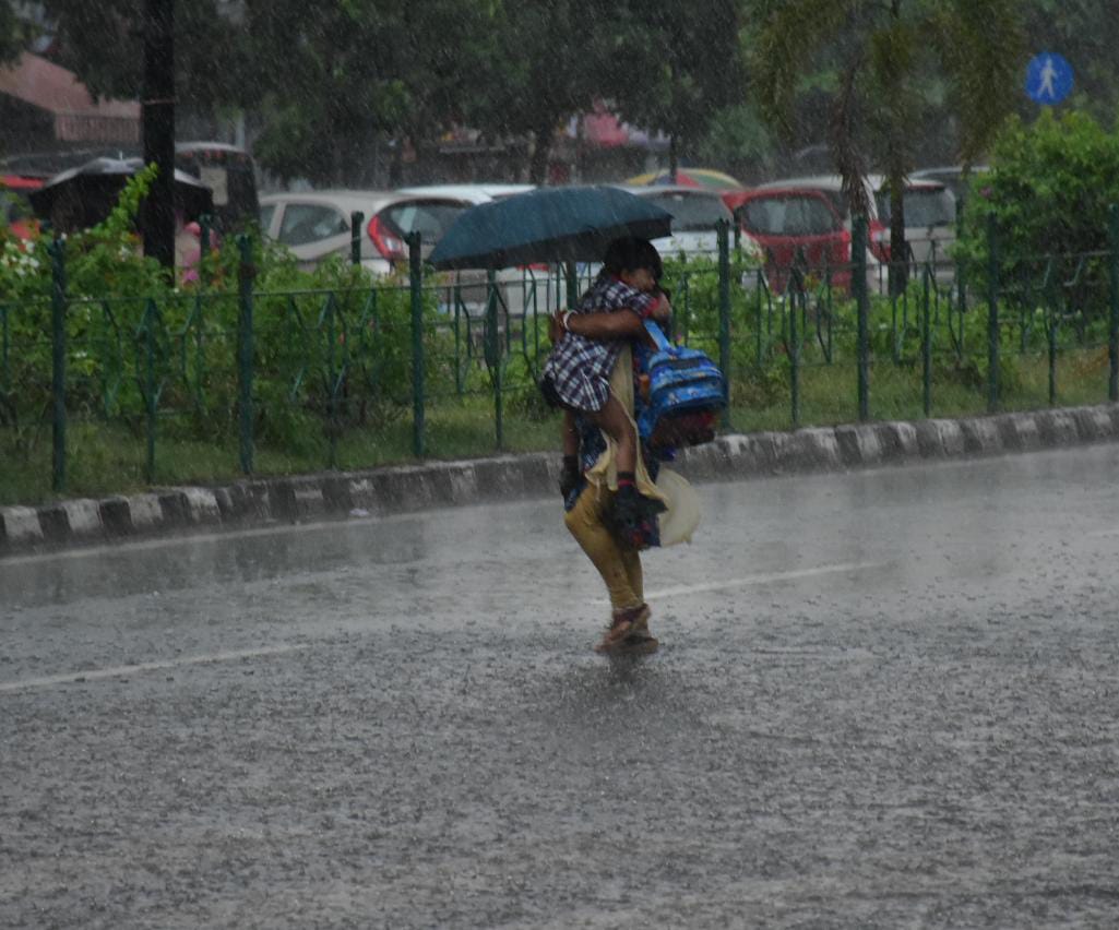
Bhubaneswar: The India Meteorological Department (IMD) Thursday said a new low-pressure area has formed over the Bay of Bengal which is likely to trigger heavy to very heavy rainfall in several parts of Odisha over the next three days.
According to the IMD’s Bhubaneswar centre, the low-pressure area formed over central and adjoining northern regions of the Bay of Bengal due to a cyclonic circulation is likely to intensify into a depression as it moves towards the northern coast of Andhra Pradesh and the southern coast of Odisha.
In anticipation of heavy rainfall, the IMD has issued an orange warning (be prepared) for the districts of Malkangiri, Koraput, Rayagada, Gajapati, and Ganjam.
Additionally, a yellow warning (be aware) has been issued for the districts of Nabarangpur, Kalahandi, Kandhamal, Nayagarh, Khurda, Puri, Nuapada, Bargarh, Boudh, and Subarnapur, indicating that residents should stay alert to changing weather conditions.
For Friday, the IMD has escalated the alert to a red warning (take action) for Malkangiri, Koraput, and Gajapati districts due to the anticipated severe weather.
Rayagada, Ganjam, Nabarangpur, and Kalahandi districts are under an orange warning (be prepared to take action), signalling that residents should be ready for potential disruptions.
Moreover, a yellow warning has been issued for Nuapada, Bolangir, Boudh, Kandhamal, Subarnapur, Bargarh, Nayagarh, Khurda, Puri, Cuttack, and Jagatsinghpur districts Friday.
Given the expected rough sea conditions, the IMD has advised fishermen to avoid venturing into the sea along and off the Odisha coast from August 30 to September 1.
From June 1 to August 29, Odisha received 804.1 mm of rainfall, which is below the normal 896.3 mm. During this period, Malkangiri district experienced excess rainfall, 20 districts recorded normal rainfall, while the remaining nine districts had deficient rainfall, the IMD said.
PTI
