
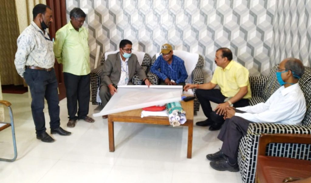
Balasore: A day after Revenue officials and scientists of Odisha and West Bengal carried out land measurements at disputed sites of Subarnarekha river here in Balasore district, they held a meeting Tuesday. They agreed to sort out interstate border dispute on the basis of 35 ground control points (GCPs) in the Odisha side and 53 points in the West Bengal side.
Meanwhile, a technical team visited the disputed sites Tuesday to determine ground control points. Identification of the 12-km-long course of Subarnarekha will be finalised within two days, it was decided.
It may be noted here that the points of contention between the two states are at Jaleswar in Balasore district and in Dantun area of West Midnapore district of neighbouring West Bengal.
The officials while measuring the reference points also identified the places which have been in contention between the two states.
The development comes after the National Green Tribunal directed the authorities of the two states to resolve the dispute relating to border. Notably, one of the cases has been filed by social activist Sudarshan Das before the NGT with regard to sand mining and environmental pollution.
Reports said that the dispute began on the jurisdiction of the Subarnarekha river which is flowing for about 12 km on the borders of the two states. Earlier, the officials of two states met at the Circuit House of West Midnapore to resolve the border dispute, February 15. The officials of two states had visited the spot after the meeting and conducted a measurement of South Praharajpur village in the state and Sunakania and other places in West Bengal.
Odisha Space Application Centre (ORSAC) has pinpointed 35 reference points in Odisha border and 53 reference points in West Bengal border with the use of GPS and DGPS systems.
“A technical team reached today. By Wednesday, ground control points will be determined and the dispute will be sorted out,” said ADM Sambit Kumar Nayak.
What are ground control points ?
Ground control points (or GCPs) are points on the ground with known coordinates. In an aerial mapping survey, GCPs are points which the surveyor can precisely pinpoint. GCPs are defined as points on the surface of the earth of known location used to geo-reference Landsat Level-1 imagery. Ground coordinates can come from a variety of sources such as the Global Positioning System (GPS), ground surveys, geo-coded images, vectors, geographic information systems (GIS), topographic maps, chip databases, or by using photogrammetric processes to extend the number of GCPs in images.
PNN