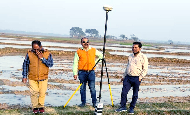
Jaleswar: Odisha government Friday started a satellite survey in Balasore district to resolve the prolonged border dispute with West Bengal.
Also read: Body of Jharkhand tourist recovered at Puri beach a day after drowning
Acting on the directives of Balasore district Collector K Sudarshan Chakravarthy, 36 points were identified by Jaleswar tehsil officials after thoroughly verifying land measurements of bordering areas.
“Satellite surveys of these 36 points are being conducted now. A ten-member team of scientists from Oscar Satellite have been carrying out DGP and ETS high-tech satellite surveys here. The demarcated points in riverbeds can be reestablished in future in cases when washed away by river water,” said Jaleswar tehsildar Khirod Kumar Panda.
The survey work will continue till February 2, the tehsildar added.
Notably, illegal sand quarrying activities are going on rampantly in the district. Many sand mafias from West Bengal have been earning handsomely by lifting sands from areas coming within Odisha.
The illegal activities have posed serious threats to riverside villages like Bilaspur, Gopalpur, Kuanrpur, Makidia, Totapada, Behera Sahi, Praharajpur and Makarampur under Jaleswar block in Balasore.
PNN
