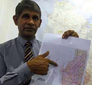
Colombo: Sri Lanka Thursday released its new map by incorporating major development projects undertaken in the island country over the past few years, including the Chinese built port city and the strategically-important Hambantota port.
The map was released by the Department of Survey General in the presence of the Minister of Lands and Parliamentary Reforms Gayantha Karunathilake.
The new map, released after nearly 20 years, incorporates the changes made in the country’s landscape due to the under construction port city project in Colombo and the port in Hambantota in the deep south.
The port city and the Hambantota port have changed the country’s landscape and required a new map.
Surveyor General PPM Udayakantha said that the new map produced by the 1:500 ratio also includes the Moragahakanda reservoir and the new highways in Sri Lanka.
The port city, a new city under construction, seeks to reclaim 269 hectares of land adjacent to the Galle Face.
Land reclamation for the project is expected to be completed next year before construction begins on the new city.
He said the new map will see more changes over the next few years as the landscape of Sri Lanka continues to change with major development projects underway.
