Google Maps has mapped almost every inch of the planet, from the bustling streets of major cities to the most remote islands. With a few clicks, you can explore world-famous landmarks, plan road trips and even peek into restricted zones—until you stumble upon a place that refuses to be seen. Blurred, pixelated, or blacked out, these censored locations on Google Maps fuel curiosity and speculation. What is being hidden? And why?
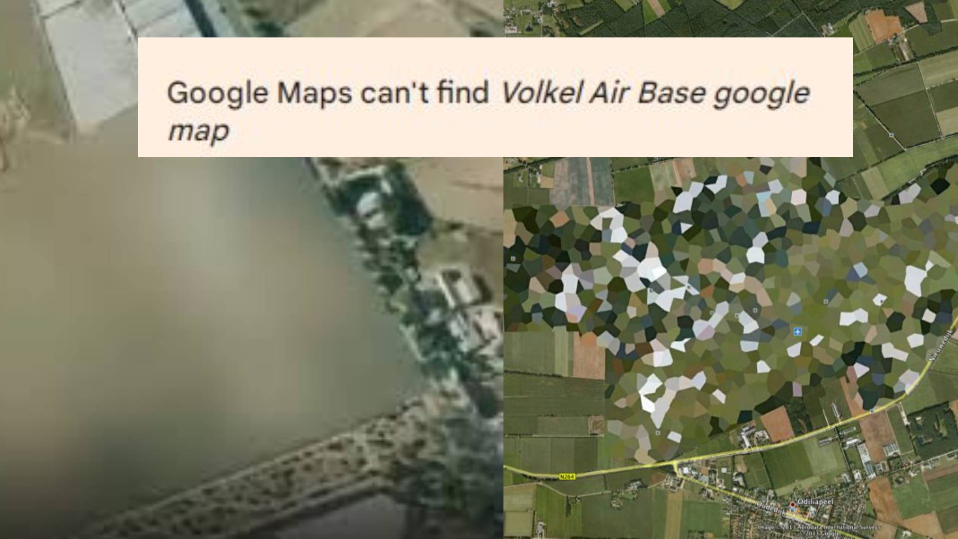
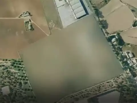
While some locations are censored for privacy reasons, others are blacked out due to their military or nuclear significance. One of the most well-known hidden sites is Volkel Air Base in the Netherlands, a location long suspected of storing nuclear weapons. Despite years of speculation, its aerial view remains mysteriously blurred on Google Maps.


Read Also: SUV disaster: Watch video of Scorpio flipping eight times in Ghazipur
Similarly, the Marcoule Nuclear Site in France remains off-limits, with censorship intensifying after an explosion in 2011. Meanwhile, in Taiwan, the Army Logistics Command Headquarters is another secretive site, obscured to shield military operations from prying eyes.
The secrecy surrounding these censored locations on Google Maps raises questions—are they just precautionary measures, or is there something more being hidden from the world? Whatever the case, these digital blind spots continue to spark intrigue, leaving the public to wonder what secrets lie beneath the blur.
PNN


