Kendrapara: A massive tsunami with waves up to 30 metres (100 feet) in height devastated areas along the coast of Indonesia as well as localities in Tamil Nadu, Andaman and Nicobar Islands, Kerala, Pondicherry, and Andhra Pradesh in December, 2004. The calamity is still etched in memory. It was a rude wake-up call for many states in India. The Odisha State Disaster Management Authority (OSDMA) then identified 64 villages in the coastal Mahakalpara and Rajnagar blocks of this district as tsunami prone. However, to date, other than mock drills related to evacuation in cyclone shelters, nothing concrete has been done for the protection of people in these villages. The state government mooted a proposal for the creation of mangrove forests along the coastline to protect the villages but it is yet to be implemented.
As a result, the residents of these 64 villages are always panic-stricken and live under the perpetual fear of floods and cyclonic storms. Local intelligentsia Ganesh Chandra Samal, Rabindra Kumar Dash and Ashis Kumar Senapati informed that during ‘Cyclone Yaas’ tidal waves flooded three kilometers into the mainland. They said that if a tsunami occurs then it will wreak havoc in the coastal villages. The tsunami can only be checked to some extent if mangrove forests are extensively grown on the coastline. A three-member team of scientists from the National Institute of Oceanography at Goa visited Kendrapara district to survey the availability of infrastructure on the coastlines in 2006. They visited Bhitarkanika National Park and later took stock of the mangrove forests which stood as a wall protecting the mainland from cyclonic storms and ingress of tidal waves. They termed the development ‘satisfactory’ but asserted that more mangrove forest cover is needed for protection against tsunamis. They recommended to the Odisha government and the Centre to increase the mangrove cover for protection of residents living on the Kendrapara coastline.
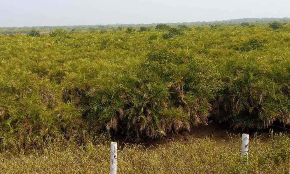
Notably, mangrove trees can act like a sentinel against hurricane-generated or tsunami waves. Their roots intertwine to form a dense thicket above water that breaks waves and helps blunt the force. Since then 17 years have passed but the tsunami management in this district has not taken off at all in the 64 villages. Locals alleged that the mangrove cover has not been increased at all. On the other hand, they said that the mangrove cover on the coastline is rapidly declining due to erosion. They stated that five revenue villages in Satabhaya panchayat have vanished from the map due to rapid sea erosion. Approximately 571 villagers from these villages have been rehabilitated at Bagapatia in 2018.
Moreover, the mushrooming of prawn gheries is also destroying the coastlines and their green cover. When contacted, ADM Basant Kumar Rout said that the district administration is laying more stress on the creation of mangrove cover while a geo-synthetic wall has been built on the Pentha coast to protect the coastline from sea erosion. This apart, awareness programmes are being undertaken in tsunami-prone villages to sensitise the residents, he added.
